The PHL-Microsat Program is a three-year space research and development program that ran from 2014 to 2018. This page is maintained by its successor, STAMINA4Space.
APPLICATIONS
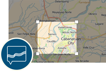
IMAGE BROWSER
View all captured images from Diwata-1 by choosing a specific region in the Philippines.
MICROSATELLITE TRACKER
Find Diwata's exact location and current elevation using the Tracker. This also shows the path that will be taken by the microsatellite in the coming date and times. A night option can also be used to add more information about its current state.
IMAGE REQUEST
Get various microsatellite images from a specific region or place by filling out this form.